Analytics for Development
Geo-Agri is a collective of GIS experts with decades of experience building geospatial products for food security across the world. Our expertise in software development, tropical agriculture, environmental monitoring and geodata allows us to build tailored solutions for the humanitarian and development sector.
Our Services
Unlike most GIS companies, we have a deep understanding of the challenges faced by humanitarian and development organizations- which is why our services focus on building solutions, not just data. We prioritize deep collaboration with clients and partners to help build their capacity to own the solutions we help build.
20
YEARS EXPERIENCE
18
COUNTRIES
30
UNIQUE PROJECTS
Our Clients
Our clients and partners include local NGOs, UN agencies, international humanitarian organizations, donors and space agencies among others. With our long experience in both the humanitarian and technical sectors, we can often act as a bridge between humanitarian actors and technical sectors such as space agencies and tech companies.


Our Team
The Geo-Agri team has decades of experience applying geodata and satellite imagery to complex problems across the world, especially in complex humanitarian emergencies. Our unique background and skills set us apart from the data analytics industry. We are able to operate in almost any country in the world, and can work in English, French, Spanish, Wolof, Dutch and German.
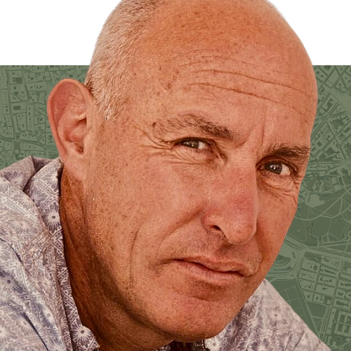
Peter Hoefsloot
Read Bio
Following an Msc in Agriculture, Remote Sensing and GIS, Peter has done numerous projects around the world, with a bias for Africa. His company HSS has developed technology to help governments follow the agricultural season using satellite imagery. And, since 2007, applying it to routing financial aid where it is most needed (LEAP in Ethiopia, African Risk Capacity for the whole continent). In Mali, Burkina, Ethiopia, Kenya and Tanzania, HSS teamed up with NGO’s (SNV and PCI) and local telephone companies (such as Orange) to bring information about water and grazing conditions to pastoralist farmers. Peter loves to manage projects while regularly doing innovative technical work, such as recently the use of deep learning methodologies for the analysis of satellite imagery.
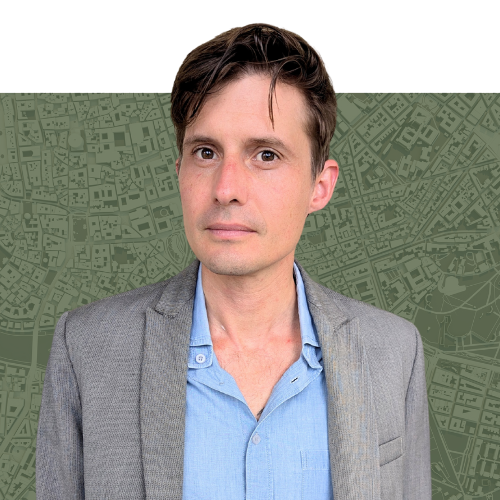
Alex Orenstein
Read Bio
Alex is a specialist in remote sensing and food security with a particular focus on livestock and pastoralism. Over the past 15 years, Alex has pioneered a series of tools and methods to predict drought, map the seasonal movements of livestock herds and build climate information systems that serve farmers and herders. Alex previously headed Action Contre la Faim’s West Africa’s Disaster Risk Reduction department, where he oversaw a drought early warning system for livestock herders. Alex has implemented food security and GIS projects in Mali, Niger, Burkina Faso, Senegal, Chad, Mauritania, Côte d’Ivoire, Rwanda, Burundi and Somalia. He is currently based in Miami, United States and speaks English, French and Spanish.
Souleymane Diop
Read Bio
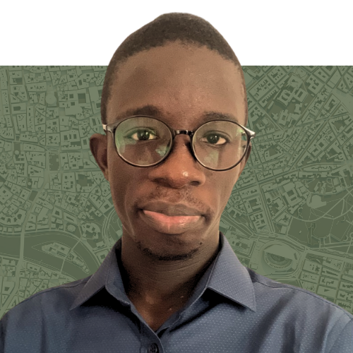
Following a Higher technician diploma in Geomatics, Souleymane has worked for various clients. Over the span of 5 years, he was responsible for geographic information related matters for a Senegalese public agency. Later, his role shifted to a GIS Consultant for some humanitarian/development organizations (SNV, Save the Children, UN-Habitat). The work done for those organizations involves the building and maintenance of web platforms/dashboards for pastoralist in the Sahel (Mali, Burkina, Niger), doing remote sensing study and analysis on cropland expansion in pastoral reserves in the Sahel, training young people in the use of geomatics tools in Senegal and Mali… Souleymane has a great interest in coordinating field work and in remote sensing based innovation, specifically those targeting people living in hard to reach areas or marginalized communities (such as pastoralists, farmers…). He is based in Dakar, Senegal and speaks fluent English, French and Wolof.

Frederik Rosman
Read Bio
Frederik is a data analyst and software developer specialised in geo-information having worked as consultant and developer on several international projects. This includes a twelve year period for a specialized agency of the African Union building desktop and web applications using model calculations on drought, floods and tropical cyclones with an emphasis on insurance for response costs for African nations.
Following his land surveying background he has worked on projects in satellite positioning, land administration, taxation and land consolidation both in the Netherlands and internationally.
Frederik brings deep experience in translating information demands and tasks of users into IT systems, and in delivering efficient and integrated systems that users become enthusiastic about. He has used and mastered a wide range of programming languages and techniques.
Frederik is based in the Netherlands and speaks Dutch, English and German.
Laure Boudinaud
Read Bio
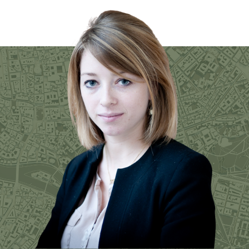
Building on her experience with the European Space Agency and the United Nations in many different contexts, primarily across West Africa and the Caribbean, Laure offers highly specialised expertise in geospatial analysis for vulnerability assessment, particularly in regions impacted by natural disasters and armed conflict. Her research focuses on agriculture and detecting land use changes through satellite imagery. She has developed an innovative methodology to identify cropland abandonment in hard-to-reach, conflict-affected areas, helping to improve national food security assessments and optimise humanitarian response efforts. Currently based in France, Laure is fluent in French, English and Italian.