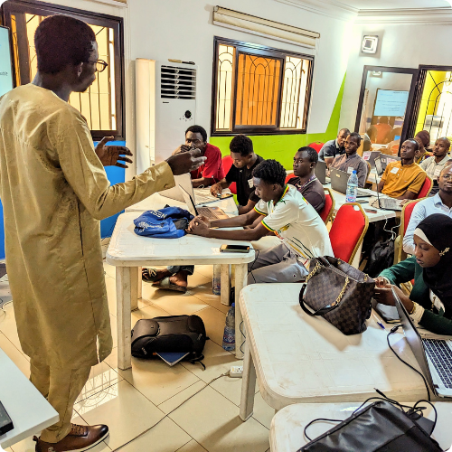
Training
Expert multilingual training in GIS and Data Science.
We provide both in-person and online training for individuals or large groups. Some of our training subjects include: Introductions to GIS (QGIS or ArcGIS), Microsoft Excel, programming fundamentals (R or Python), web design, satellite image analysis among others. Unlike most GIS companies, our trainings go beyond the standard model of a powerpoint and lecture. We use hands-on, participatory exercises that engage our participants throughout the entire process.
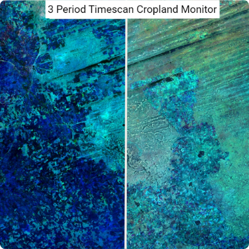
Remote Sensing
Harness the power of satellite imagery for your organization.
Our team can support your project through a full spectrum of remote sensing services from image acquisition to analysis to mapping. We have decades of experience using remote sensing to map agricultural production, pasture availability, drought incidence, flooding, rainfall patterns, climatalogical monitoring and infrastructure (among others). We prioritize the use of open-source tools and free imagery which reduces the cost for our clients and ensures they have full ownership of the products.
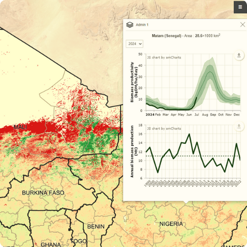
Web Mapping
Build powerful dashboards and interactive maps.
Webmapping is often either very expensive or very complicated. However with Geo-Agri, it is neither. We have deep expertise using our own tools and open source technologies that allow us to build powerful, flexible data visualization tools at a fraction of the cost that most companies demand.
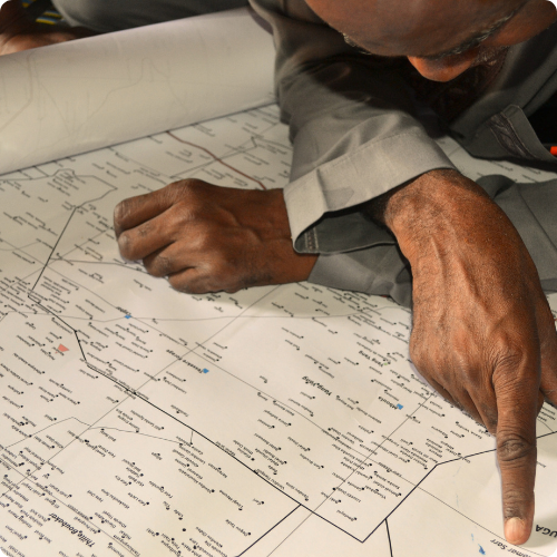
Field Work
Community-centered field work from decades of experience
With a vast network of local partners, we can handle the logistics of organizing research, data collection or events in dozens of countries. Our team has organized field work across Africa, Asia and Latin America and has the experience necessary to execute complicated logistical tasks while delivering quality results. Unlike many other GIS companies who prefer to to only work remotely, we are happy to hit the ground and bring our expertise wherever it is needed.