Skip to content

Our Tools

We have built a number of open access tools and dashboards that allow anyone to use our data to further their own research. In addition to the examples here, you can visit our GitHub for more raw data or source code.

GARBAL Platform

    GARBAL is a call center platform operating in Mali, Burkina Faso and Niger. GARBAL provides farmers and livestock herders with up-to-date information on pasture, market prices and weather forecasts. Farmers… Read More »GARBAL Platform
    GeoSahel

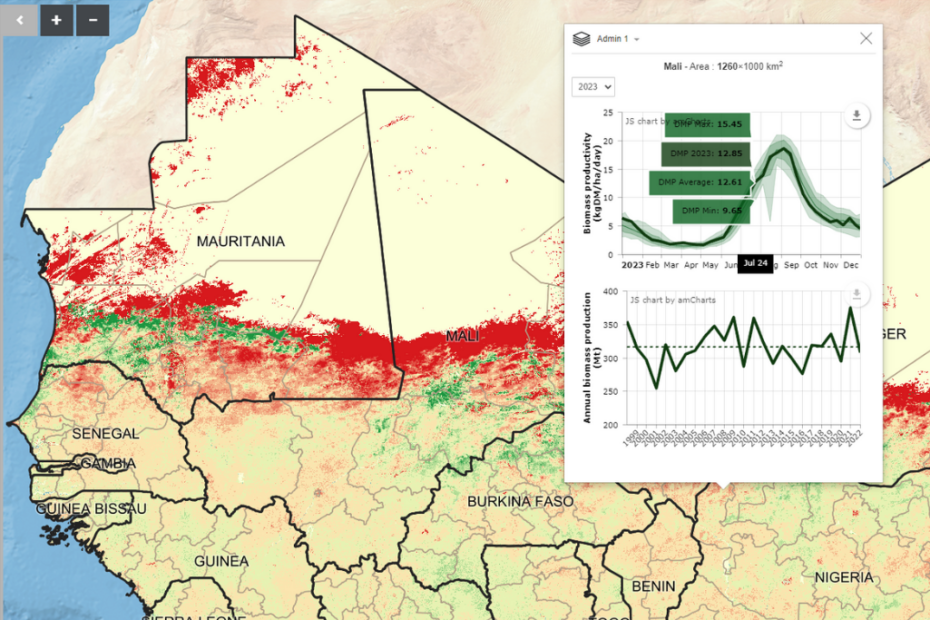
      Built for Action Contre la Faim (ACF) in 2016, the GeoSahel platform visualizes drought in West Africa by allowing users to map biomass production for each year. GeoSahel is used by… Read More »GeoSahel

      Cropland Mapper

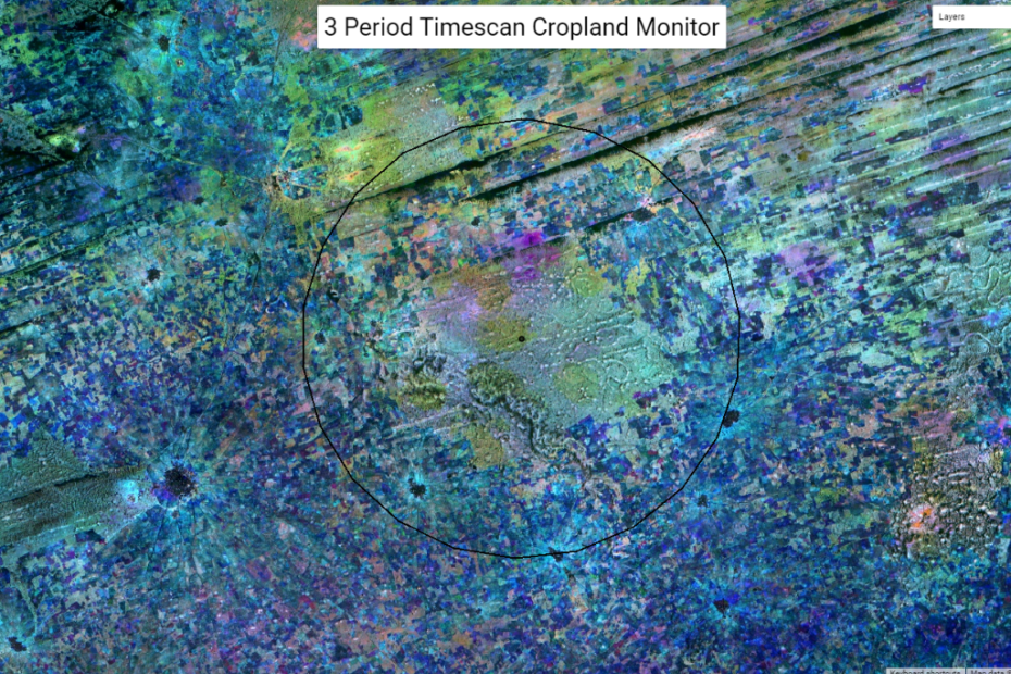
        This dashboard, built from Google Earth Engine, lets users visualize 3 Period Timescan images of cropland. These images create a Red-Green-Blue composite of cropland over the course of a growing… Read More »Cropland Mapper