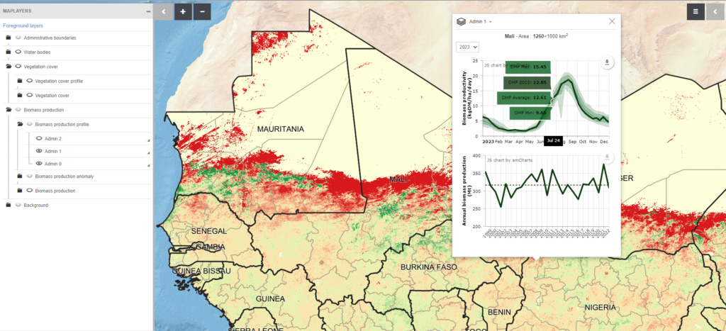
Built for Action Contre la Faim (ACF) in 2016, the GeoSahel platform visualizes drought in West Africa by allowing users to map biomass production for each year. GeoSahel is used by NGOs, UN Agencies, Civil Society Organizations and National Early Warning Systems every year to help plan for emergencies and conduct food security assessments. GeoSahel is a trusted source of timely and reliable earth observation data that covers one of the most climatologically vulnerable places on earth.
The drought data on the platform is created by ACF’s BioGenerator Algorithm, which estimates biomass production throughout the West African Rainy Season.
The platform is open access and accessible to anyone at www.geosahel.info. The data behind the platform remains accessible and free to use (either through the platform, or via the Humanitarian Data Exchange).
Links
Access the platform at www.geosahel.info